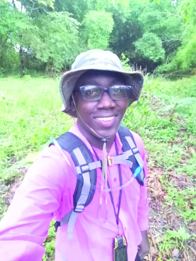
Supernaam: The Secondary Town

By Isahak Basir CCH

Supenaam, located on the mainland situated left of the Essequibo River and Wakenaam, is an island.  Supenaam and Wakenaam are two Dutch words.

Originally, Supenaam was involved in agricultural production and subsidized the former sugar estates of Aurora and the 12 sugar plantations of Wakenaam. It also served as a communication point for Fort Island.

On one occasion, a Dutch entourage had its vessel sunk in the vicinity of Troolie Island and several persons drowned. Their bodies were recovered from the river and entombed at Caria Caria, where their tombs are still visible.

Supenaam is a growing community with a population of 2,000 and falls under the purview of the Pomona/Good Hope Neighbourhood Democratic Council. It can be considered an essential point for all categories of social and economic needs.  It is also a local port of entry for vessels plying Bartica, several populated islands along the Essequibo River and Parika, which is a hub to the capital city of Georgetown.

The Parika/Supenaam speed boat service was developed in 1978 and today it is much more organized, with faster boats covering 30-odd miles in approximately 35 minutes, and operates under strict maritime regulations. A high level of courtesy is exhibited by boat operators and commuters as more than 3,000 passengers ply this route daily. At any time, the car park is flooded with more than 40 taxis, routing between Charity and Supenaam. The Supenaam community also has a recently built ferry stelling, a car park, community market, fuel station, hotels and police outpost.

Supenaam Creek leads to the large timber concessions, which supply several saw mills with a variety of species of wood – especially greenheart. The Dutch occupancy also had the first hydro-driven sawmill located in the Supenaam Creek. Some relics of foundation are still visible.  Five miles up the creek the Amerindian community of Bethany is located. That community has an airstrip since government policies did not exclude the area, which is consistent with Amerindian development.

Supenaam is poised for development with a proposed road link to Buck Hall, Caria Caria and later to Skull Point at the mouth of the Cuyuni River. When this road link it materialized, thousands of acres of farm land can be utilized. The Supenaam Creek is a progressively farming area and very soon will have the facility of a plant breeding station. It is a prime tourist destination, but its history and historic landmarks need to be properly recognized. (Photos by Marco Basir)

Related posts