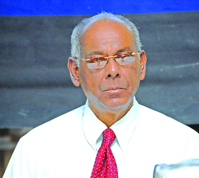
Commissioner of the Guyana Lands and Surveys Commission (GLSC), Trevor Benn, at the Commission’s annual end-of-year press briefing on Monday said plans are in place to begin remapping the country. According to Benn, the last time Guyana was mapped was in the late 1960s.
“We will begin work on this, this year, starting with Region One. This is coming at a cost of over G$200 million,” he told media operatives.
Additionally, Benn said the Commission has received estimates for the overall remapping of the country. According to him, estimates from international suppliers have been received and range from “£20 million (GY$5,277,906,928.82) to US$79 million (GY$16,509,420,000)”.
The Commissioner said the importance of good base maps and generally updated maps cannot be overstated. He highlighted that work has commenced on the development of the land parcel database for Regions Two (Pomeroon-Supenaam), Three (Essequibo Islands-West Demerara) and Seven (Cuyuni-Mazaruni) with the expectation that this will be taken “across the rest of the regions in the coming years.”
“This is an important aspect in the management of all lands in Guyana since ultimately, a completed land information system enables the generation of accurate and important land statistics,” Benn explained.
He added that this would aid data-driven development decisions and increase the efficiency in land management. The land parcel database involves geo-referencing of survey plans to determine which areas have been surveyed, which have not and which are vacant.


