In protest over moves to incorporate the controversial ‘New River Triangle’ on Suriname’s map, Guyana has pulled out of the neighbouring country’s inaugural International Mining, Energy and Petroleum Conference and Exhibition (SURIMEP) set for June.
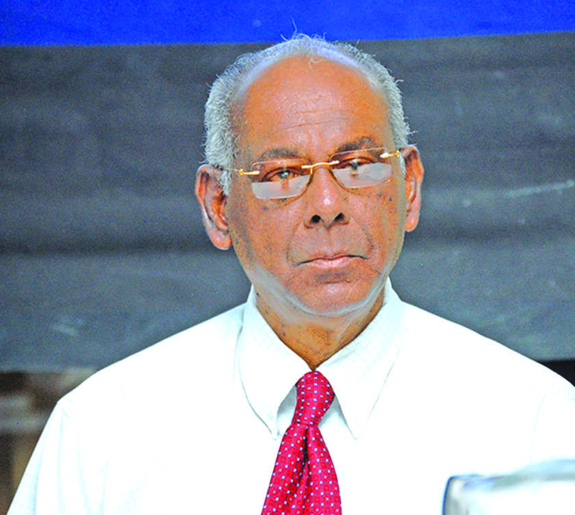
Natural Resources and Environment Minister Robert Persaud made the disclosure during Friday’s budget debate in the National Assembly. He explained that through the Foreign Affairs Ministry, Guyana withdrew its participation. “They were circulating the documents and as part of the Suriname map, they had the New River Triangle included,” Persaud pointed out.
“Mr Speaker, I point to that, because we have to constantly and consistently and stridently take a unified stance on our territory, also the development of our natural resources.”

The first SURIMEP is set to take place from June 17-19 under the theme “Utilising Suriname’s natural resources to underpin a sustainable economy”. It is being organised by the Natural Resources Ministry of Suriname in association with AME Trade Ltd.
When Guyana gained its independence in 1966, it retained the same borders that the British had ruled over, but Suriname had claimed the forested region situated between the Kutari and New Rivers. To date the area remains disputed. The New River Triangle, as it is commonly known in Guyana, is about 6000 square miles.
Guyana is basing its claims on maps printed of British Guiana in 1913 and 1924 which placed the boundary between the two colonies along the deepest channel of the Corentyne River. In the early 1930s, this boundary was recognised by the Dutch.
On the flip side of the coin, Suriname is arguing that the Corentyne River is a national river. Back in 1967, the then Government of Suriname said in a treaty signed between the Dutch and British in 1799, all of the territory west of the Corentyne River was ceded to the colony of Berbice and the border was the left bank of the Corentyne River from its source mouth. The neighbouring country is maintaining that Corentyne is a national river which lies within its territory and not a boundary river.


