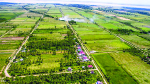
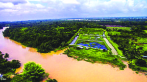
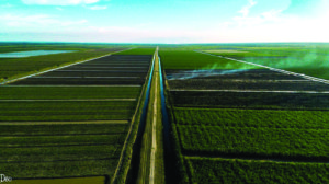
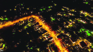
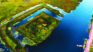
At some point in our lives we all would have wondered what Guyana looked like from the sky. We would have wondered if the confusion we see on the ground is visible from over 3000ft above or if our prized architecture would stand out. Well, Photographer Deopaul Somwaru recently took a tour of certain parts of the Coastland from up above. He decided to share some of those images with the Sunday Magazine. Here are some of those images. (Photos by Deopaul Somwaru) (Sunday Times Magazine)